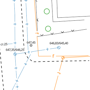
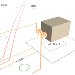
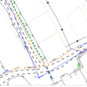
About the system
The system is designed for processing, storing, and visualizing topographic data,
utility networks, land cadastre, and other georeferenced information.
All data is stored centrally and is accessible from a computer or mobile device.
«Topohub.kz» can be used for design and operation of utility networks, construction, geodesy, cartography, and other tasks involving geospatial data.
All data is stored centrally and is accessible from a computer or mobile device.
«Topohub.kz» can be used for design and operation of utility networks, construction, geodesy, cartography, and other tasks involving geospatial data.